Coastal Zone Classification Field Study Completed
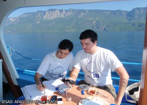
In the field study conducted between 12-15th June 2010, the study team comprising of Semiha Demirbaş, Eren Özden, Eray Çağlayan and Murat Ataol examined all the coasts within Gökova Bay included in the boundaries of Gökova SEPA, cruising approximately 78 nautical miles, on the first day of which related experts from EPASA, Emrah Manap, Suda Ekici and Nurhan Şen also participated. The study was based on the coastal classification in the Standard Data Entry Form developed according to the Protocol concerning Specially Protected Areas and Biological Diversity in the Mediterranean and the Action plan for the Protection of the Marine Environment and the Sustainable Development of the Coastal Areas of the Mediterranean (MAP Phase II), adopted by the Contracting Parties to the Barcelona Convention in 1995. The coastal habitats were classified according to their typological characteristics as coastal wetlands, salt marshes, sand dunes, sand and shingle beaches, sea cliffs and rocky shores, together with the vegetation classified according to the biogeographical variation of the Mediterranean region.
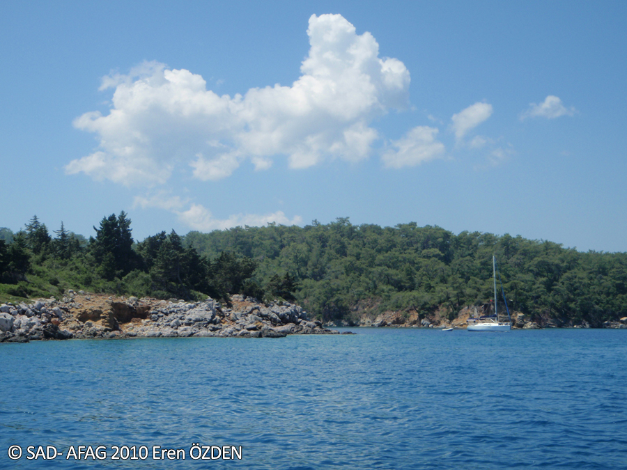
It was observed that the study area is mainly composed of rocky shores, but especially a part of the northern coast and Çatı site in the southern coast have eroded rocky shore formations. Steep cliffs in these areas, wetlands in river deltas, and reed fields in the areas of carstic water occurance are the main indicators of the region. Besides these, an important characteristic of the coast line is represented by a number
of shingle rubbish formations. Piers, binding and anchoring locations of boats and yatches and the other antropogenic facilities such as beaches, campings, restaurants and settlements in the coastal zone were also recorded during the field study.